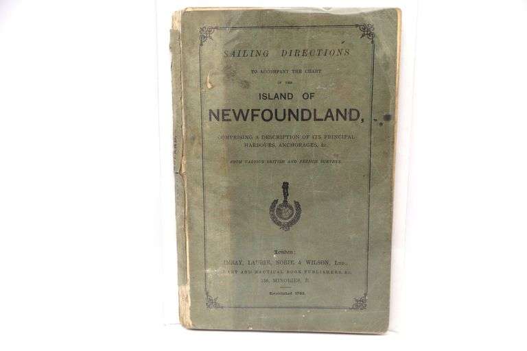
1763, Sailing Directions To Accompany the Charts Island of Newfoundland
ailing Directions to Accompany the Charts Island of Newfoundland, was issued in 1763 by Laurie and Whittle, prominent English mapmakers of the 18th century. This work is a critical piece in the history of nautical navigation, providing detailed instructions for mariners navigating the waters surrounding Newfoundland.
📘 Overview
-
Full Title: Sailing Directions to Accompany the Charts Island of Newfoundland
-
Publishers: Robert Laurie and James Whittle
-
Year: 1763
-
Format: Printed pamphlet accompanying nautical charts
-
Purpose: To provide navigational guidance for sailors operating along the Newfoundland coastline
🧭 Content Highlights
This publication was designed to complement the detailed charts created by James Cook and others, offering practical information for safe navigation. Key features include:
-
Detailed Sailing Instructions: Guidance on navigating the coasts of Newfoundland, including descriptions of bays, harbors, and notable landmarks.
-
Tidal Information: Data on tidal patterns, which are crucial for planning safe passages.
-
Navigational Hazards: Identification of rocks, shoals, and other obstacles that could pose risks to vessels.
-
Distance Measurements: Estimates of distances between key locations to aid in voyage planning.
These directions were based on actual surveys and were intended to assist mariners in safely navigating the often challenging waters of the North Atlantic.
🗺️ Historical Significance
The 1763 sailing directions are part of a broader effort during the 18th century to improve maritime navigation. This period saw significant advancements in cartography and navigational science, with figures like James Cook leading the way. Cook's detailed surveys of Newfoundland's coasts provided a foundation for these sailing directions, which were among the earliest systematic attempts to document and standardize navigation in the region.